Saturday was another day of fast downwind sailing! What incredible fun we are having … though at times I can’t help recalling my Dad saying, “Too much of a good thing isn’t such a good thing.” Hopefully, Dad wasn’t referring to open-ocean sailing when he said that!
We’ve been on this latest gybe all day now and we keep a constant vigil on the tracker to see how we are converging with Horizon, which is north of us and still slightly ahead. Perhaps, by the time you read this, that will have changed! It seems to us at least, that with each passing hour, we catch up a little bit more … but it will still be right down to the wire as we approach the Hawaiian Islands, where the Moloka’i Channel winds may whip up peaks of powerful waves. We are also heading now into a large area of lighter winds around the islands. This is where the race may very well be won or lost.
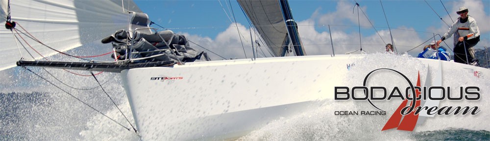
 Â Chris Pike, Crister Still and Tim Eades
 Chris Pike, Crister Still and Tim Eades
Reflecting a moment on this great expanse of water, a few thoughts for you expeditionary-minded followers. The Pacific Ocean makes up 46% of the water on the earth, and its total mass is near equal to all the Earth’s land masses put together. That’s a LOT of water obviously, but out here, you can feel that immensity all around you and at all times. We haven’t seen a speck of land, since we lost sight of California. I think I said once, that a six-foot tall person standing on deck, can see approximately six miles before the curve of the earth falls away. If you view it from all sides of the boat, we can see in circles of about twelve miles in diameter … and we’ve sailed now about 2000 miles inside that small moving circle of perception. This means that so far, we’ve seen about 24,000 square miles of water! What we’re rolling on top of here is big BIG! If you were to look at an ordinary student globe, that much water stretched the length of the Transpac route would be about the width of a string!
Take me down to the Waterline
The water has grown steadily warmer the farther south and west towards Hawaii we go. In the change of temperature, we’ve seen a lot more flying fish, and a lot less seaweed and kelp of the sort that you find close to the California coast. Just today, we started to see some birds too. Imagine if you were an ancient navigator – no GPS, no cell phones, no computers and even a sextant or compass. As the water temperature warmed and the flying fish became more ubiquitous, you would take them as cues for your navigation. I also find myself looking out and imagining I’m one of those ancient navigators who has none of our modern instruments, and who is forced to ask how this voyage compared to any I had been on previously, or to accounts that might have been given to me by others who had sailed these same waters before me. I also look at these seas, at the sky and across the water, and compare it in my senses and memory to the Atlantic Ocean that I crossed in Bodacious Dream back at the end of 2012.

Though it’s fun to dream of being an ancient navigator, we are who we are … and modern navigators and sailors use electronic instruments to help us navigate and sail our boats. On our mast we have three big displays that you can see from the cockpit. They show us the boat speed (we call that the “fun meter!”) Presently, our top speed has been 21.4 knots … set last night! Under boat speed, you can see our compass heading and below that, our wind speed. These are all important readings that help us stay fast and on course.

We have six other instrument displays in the cockpit that show us other information that the navigator sends up to us, and that we consult in the course of our sailing. It’s really pretty amazing all the technology that we are using at the moment to get the absolute peak of performance out of this incredible boat.
It’s been comforting not to see much debris the past few days, but that just means we are moving farther west and south of the big Pacific gyres of debris. We do keep a lookout every day just to add to the data we share with the scientists at Earthwatch, who are part of a growing alliance of scientists and concerned citizens who are seeking better ways to preserve and protect the Earth’s oceans.
 Meal Plan complete, the “improv” phase begins …
While sailing well is our primary goal here, there are always maintenance chores that have to happen each day as well. We must manage and prepare our meals, take care of personal hygiene, check steering cables for wear and tear (just like checking the tires on your car.) We must also check the boat for any worn equipment and frayed lines. We “roll” our halyards and lines … meaning we tighten or loosen them regularly so they don’t rub or wear too much in the same place, which might lead to breakage. We had one line part earlier in the trip. Today we had to repair a large tear in our spinnaker with some special cloth tape that is made just for that job, and tonight, we found a short in the electrical system and had to rewire that. All is well though, but these are just some of the many things that need to be tended to daily, to keep a floating enterprise of nine people intact and safe for the duration of a long race such as this.
Well, that’s enough to consider for one sailor’s log, not to mention the fact that we are less than 250 miles from Honolulu and by the time you read this, we will be in our last 24 hours of sailing. Checking again this morning, the Race Tracker leaderboard (copied below) looks to have tipped back in our favor (yay!) … so, while we are not home yet, it indicates that the strategy decision of the past few days seems to be working out pretty well. So, ready or not Div 6 … we are b-aaack!!
Also, be sure to keep a lookout for our HAEA-logoed spinnaker as we approach Diamond Head and the Transpac finish line.

Div 6 … Bo IV up top again … July 21, 7AMÂ …
So, that’s it … until later … thank you again for all your great support!
– Dave & the new ancient mariners of Bodacious IV!
Skipper Jeff Urbina, Capt. Tim Eades, John Hoskins, Matt Scharl, Jim McLaren, Chris Pike, Christer Still, John Ayres and Dave Rearick.
COORDINATES: +20.18681, -152.05674
SOG (Speed over Ground): 12 Knot Avg.
COG (Course over Ground): 270 Degrees